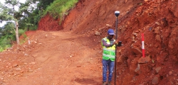
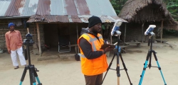
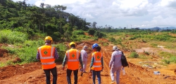
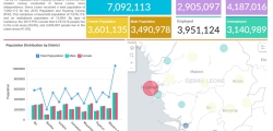
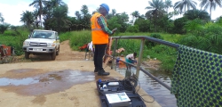
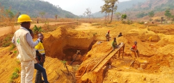
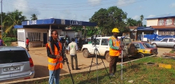
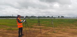
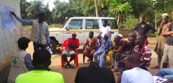
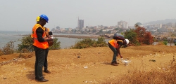
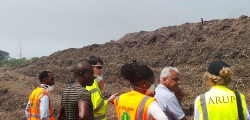
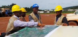
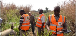
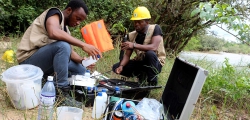
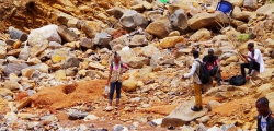
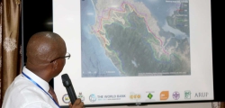
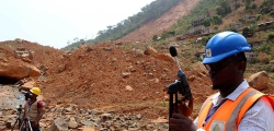
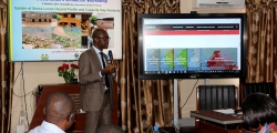
CEMMATS Group Ltd and Integrated Geo-information and Environmental Management Services were commissioned by Sierra Rutile Limited (SRL) to undertake to do a comprehensive database/inventory and a Geographic Information Systems (GIS) mapping of all disturbed lands in the SRL concession area during SRL mining activities, and put in place a system whereby the Environment, Health & Safety and Community Affairs Department can be able to update such information on a regular basis. Specifically, the RFP expected the Consultants to undertake the following tasks:
- Do an inventory of all land disturbance activities in the SRL concession and the different types of disturbed lands.
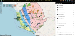
- Do a comprehensive GIS mapping of all types of disturbed lands and produce in different layers as well as a composite maps
- Set up a GIS database system for SRL EHS Department.
- Train six senior EHS staff on the use and update of GIS database.
- Capture any other relevant data to put in to GIS format.

