Geological and Mining Consulting
We integrate our cutting-edge Geographic Information Systems (GIS) and Remote Sensing technologies with geological, geochemical, geophysical, exploration, minerals and mining expertise to enable the capture, storage, integration processing, visualisation, modelling and interpretation of client’s valuable data, information and knowledge, and makes it quickly and easily accessible (secured) to all stakeholders on any device, at anytime and from anywhere.
INTEGEMS provides clients with quality services and solutions in the following areas:
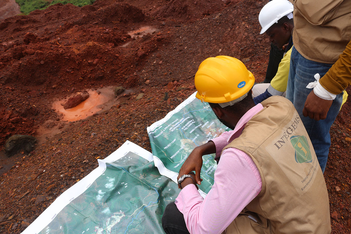
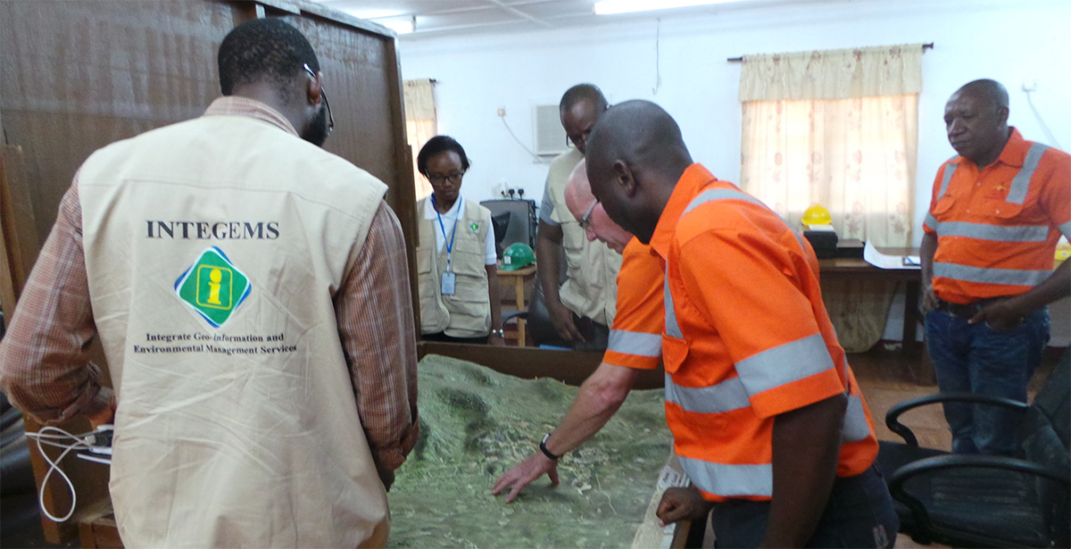
- Geo-scientific Data Management and GIS Mapping
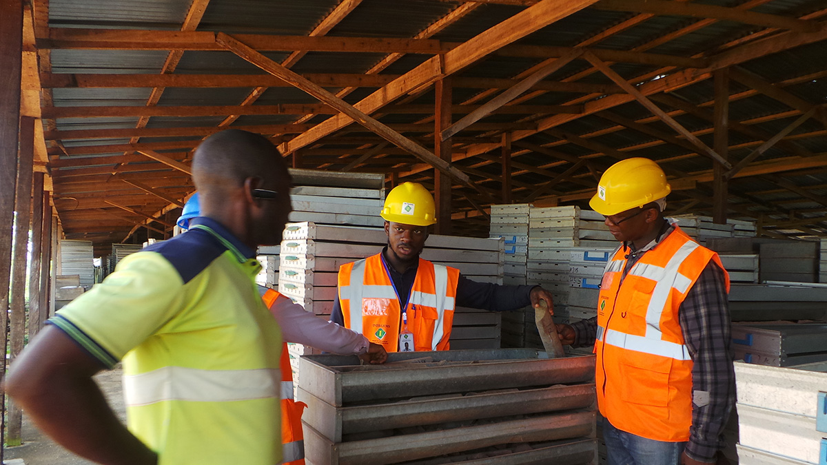
- Ground & Aerial Surveys, including Drone Mapping
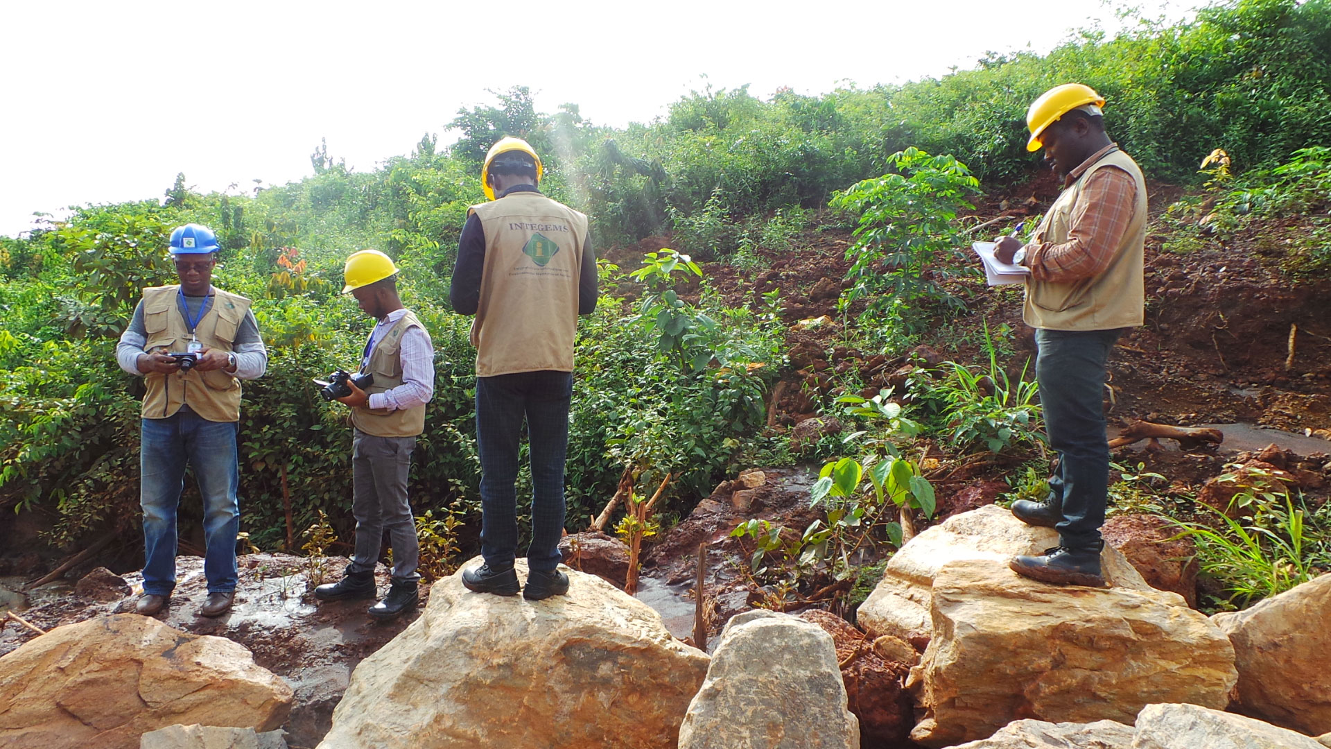
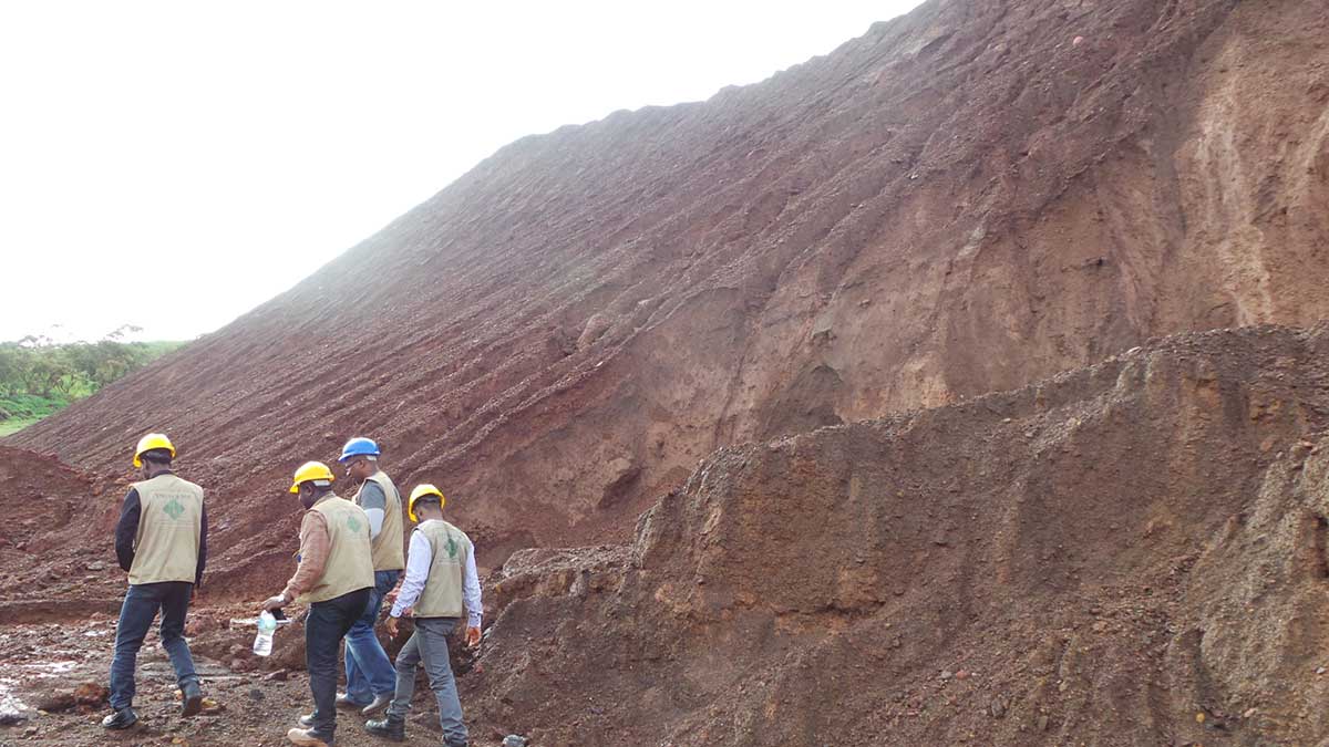
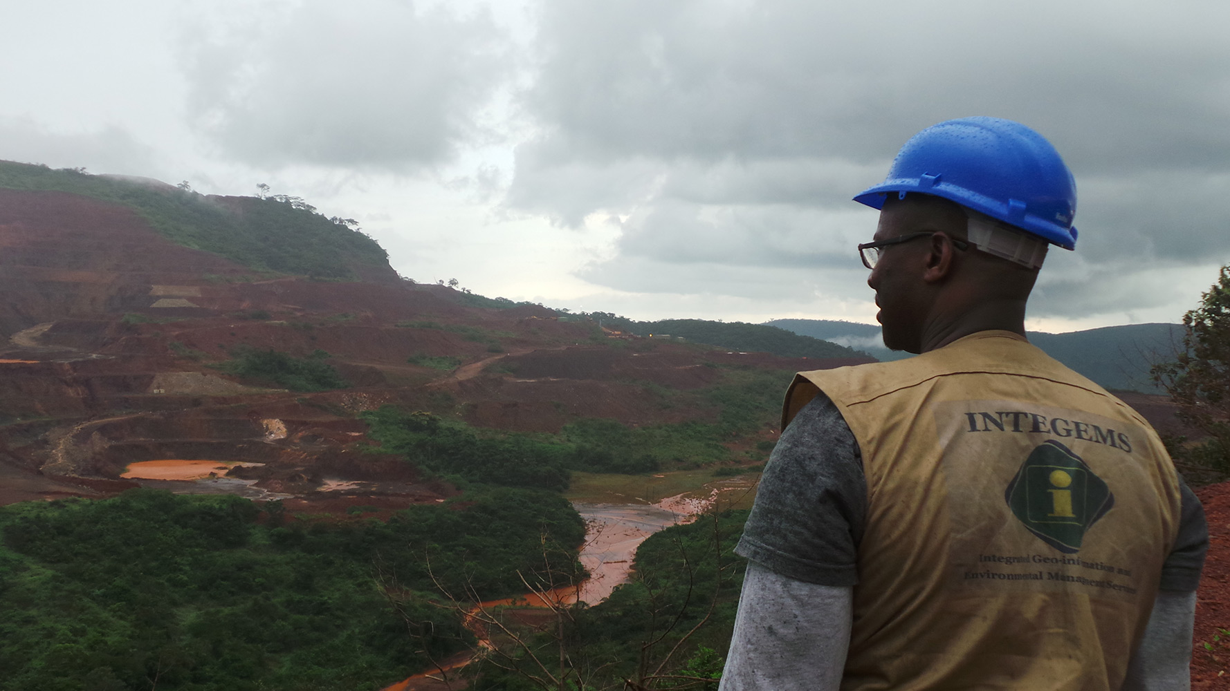
- Tailings & Mine Waste Mapping and Monitoring
- Remote Sensing Data Processing and Interpretation
- Scoping/Pre-Feasibility Studies for Mining Projects
- Geological Mapping, Modelling, Analysis & Reporting
- Geophysics and Geochemistry
- Environmental and Social Impact Assessments (ESIA)
- Environmental & Social Audits, Review Monitoring
|
Our tools and resources include the following:
- ESRI ArcGIS (Desktop, Server, Mobile, Online)
- Geosoft Target for ArcGIS, including Add-Ins
- Geosoft Oasis
- Pitney Bowes MapInfo Pro/Discover (2D & 3D)
- Surfer, LogPlot, Didger, Grapher
- Discover PA, QuickMag Pro, ModelVision
- PostgreSQL/PostGIS, MS SQL Server, Oracle
- ERDAS IMAGINE, ENVI, GEOMATICA
-
LiDAR, ASTER, SRTM, LANDSAT, SAR, InSAR
|